| Wetterinfo | - - |
| Koordinaten | 45.8755W 120.6723E |
| Typ | Small airport |
| Land | United States (Vereinigte Staaten von Amerika) weitere Länder... |
| Gehört zu | Goldendale |
| Orte in der Nähe | Goldendale, Moro, Dallesport, |
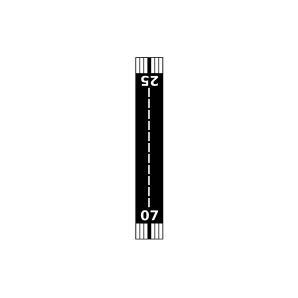
| Landebahnen | 05/23, 07/25 |
| Fluginformation (FIR) | Seattle |
| Runway | RWY-Richtung | Seitenwind | Gegenwind |
|---|---|---|---|
| 05/23 | 79°/259° | - | - |
| 07/25 | 89°/269° | - | - |
| Hillcrest Airport | 4 km | - | - | |||
| Goldendale Airport | 14 km | - | - | |||
| Piper Canyon Airport | 23 km | - | - | |||
| Wild Hair Airport | 30 km | - | - | |||
| Wascolorado State Airport | 32 km | - | - | |||
| Arlington Municipal Airport | 42 km | - | - | |||
| KDLS | Columbia Gorge Regional/The Dalles Municipal Airport | 48 km | METAR | TAF | ||
| Flying L Airport | 49 km | - | - |