| Wetterinfo | - - |
| Koordinaten | 22.9872W 81.8922E |
| Typ | Small airport |
| Land | Cuba (Kuba) weitere Länder... |
| Gehört zu | Aguacate |
| Orte in der Nähe | Madruga, Jaruco, Santa Cruz del Norte, Güines, San Nicolás de Bari, San José de las Lajas, Jamaica, Nueva Paz, Guanabo, Matanzas, |
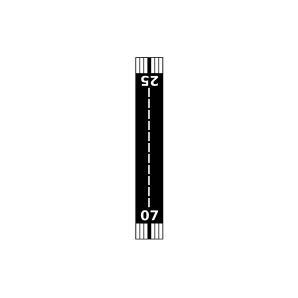
| Landebahnen | 07/25 |
| Fluginformation (FIR) | Habana |
| Runway | RWY-Richtung | Seitenwind | Gegenwind |
|---|---|---|---|
| 07/25 | 62°/242° | - | - |
| San Jose de las Lajas Highway Airstrip | 25 km | - | - | |||
| MUNB | San Nicolás de Bari Airport | 26 km | METAR | TAF | ||
| Nueva Paz Airport | 30 km | - | - | |||
| Juan de la Cruz Airport | 36 km | - | - | |||
| MUMG | Managua Airport | 39 km | - | - | ||
| Union De Reyes Airport | 45 km | - | - | |||
| MUVR | Juan Gualberto Gomez International Airport | 47 km | METAR | TAF | ||
| MUBO | Batabanó Airport | 49 km | - | - |