| Wetterinfo | - - |
| Koordinaten | 43.8135W 115.1351E |
| Typ | Small airport |
| Land | United States (Vereinigte Staaten von Amerika) weitere Länder... |
| Gehört zu | Atlanta |
| Orte in der Nähe | |
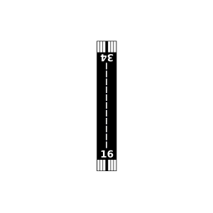
| Landebahnen | 16/34 |
| Fluginformation (FIR) | Salt Lake |
| Runway | RWY-Richtung | Seitenwind | Gegenwind |
|---|---|---|---|
| 16/34 | 160°/340° | - | - |
| Lazy H Ranch Airport | 2 km | - | - | |||
| Weatherby Us Forest Service Airport | 16 km | - | - | |||
| Graham Us Forest Service Airport | 19 km | - | - | |||
| South Fork Ranch Airport | 23 km | - | - | |||
| Southfork Airport | 26 km | - | - | |||
| Smiley Creek Airport | 29 km | - | - | |||
| Hell Roaring Ranch Airport | 33 km | - | - | |||
| Warm Springs Creek Airport | 39 km | - | - | |||
| Pine Airport | 41 km | - | - | |||
| KSNT | Stanley Weather Station | 42 km | - | - | ||
| Stanley Airport | 47 km | - | - | |||
| Smith Prairie Airport | 48 km | - | - |