| Wetterinfo | METAR TAF |
| Koordinaten | 44.7346W 103.8618E |
| Typ | Midsized airport |
| Land | United States (Vereinigte Staaten von Amerika) weitere Länder... |
| Gehört zu | Belle Fourche |
| Orte in der Nähe | Belle Fourche, North Spearfish, Spearfish, Deadwood, Lead, Sturgis, |
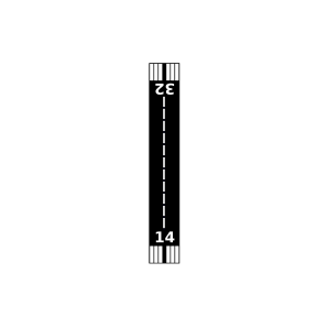
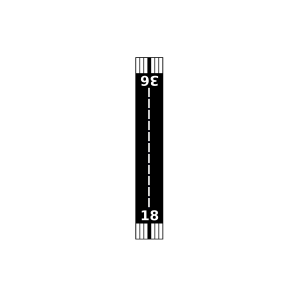
| Landebahnen | 14/32, 18/36 |
| Fluginformation (FIR) | Denver |
| Runway | RWY-Richtung | Seitenwind | Gegenwind |
|---|---|---|---|
| 14/32 | 152°/332° | - | - |
| 18/36 | 192°/12° | - | - |
| KSPF | Black Hills-Clyde Ice Field | 29 km | METAR | TAF | ||
| Mitchells Strip Airport | 30 km | - | - | |||
| Bruch Airfield | 46 km | - | - | |||
| Eden Valley Airport | 49 km | - | - |