| Wetterinfo | - - |
| Koordinaten | 46.1036W 91.9024E |
| Typ | Small airport |
| Land | United States (Vereinigte Staaten von Amerika) weitere Länder... |
| Gehört zu | Minong |
| Orte in der Nähe | Spooner, Hayward, Shell Lake, Little Round Lake, Lake Nebagamon, |
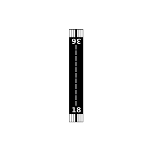
| Landebahnen | 18/36 |
| Fluginformation (FIR) | Minneapolis |
| Runway | RWY-Richtung | Seitenwind | Gegenwind |
|---|---|---|---|
| 18/36 | 180°/0° | - | - |
| Alpha Hotel Airport | 24 km | - | - | |||
| Voyager Village Airstrip Airport | 24 km | - | - | |||
| KOLG | Solon Springs Municipal Airport | 24 km | METAR | TAF | ||
| Springbrook Airport | 28 km | - | - | |||
| Willie's Airport | 30 km | - | - | |||
| North Country Seaplane Base | 31 km | - | - | |||
| Nest Of Eagles Airport | 31 km | - | - | |||
| KHYR | Sawyer County Airport | 36 km | METAR | TAF | ||
| Connors Lake Landing Airport | 37 km | - | - | |||
| Minnesuing Airport | 39 km | - | - | |||
| KSSQ | Shell Lake Municipal Airport | 41 km | METAR | TAF | ||
| Eau Claire Lakes Airport | 41 km | - | - | |||
| Cedar Island Airport | 44 km | - | - | |||
| Drew 9 Airport | 44 km | - | - | |||
| Gillette's Lakewood Lodge Airport | 45 km | - | - | |||
| Round Lake Seaplane Base | 47 km | - | - | |||
| KRZN | Burnett County Airport | 48 km | METAR | TAF |