| Wetterinfo | - - |
| Koordinaten | 38.9767W 87.0225E |
| Typ | Small airport |
| Land | United States (Vereinigte Staaten von Amerika) weitere Länder... |
| Gehört zu | Lyons |
| Orte in der Nähe | Bloomfield, Linton, Odon, Worthington, Jasonville, Middlebury, Bicknell, Loogootee, Sullivan, Washington, |
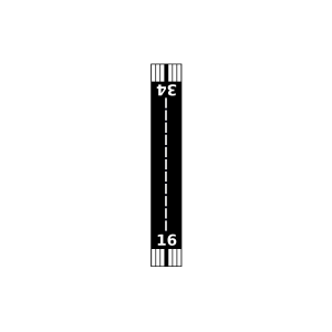
| Landebahnen | 16/34 |
| Fluginformation (FIR) | Indianapolis |
| Runway | RWY-Richtung | Seitenwind | Gegenwind |
|---|---|---|---|
| 16/34 | 160°/340° | - | - |
| Shawnee Field | 8 km | - | - | |||
| Fence Field | 21 km | - | - | |||
| Shakamak Airport | 26 km | - | - | |||
| KDCY | Daviess County Airport | 32 km | METAR | TAF | ||
| Ridgway Flying Service Airport | 34 km | - | - | |||
| Miller Airport | 39 km | - | - | |||
| KBMG | Monroe County Airport | 40 km | METAR | TAF | ||
| KSIV | Sullivan County Airport | 40 km | METAR | TAF | ||
| Godahavit Airport | 42 km | - | - | |||
| Mann Airport | 43 km | - | - | |||
| Ed-Air Airport | 44 km | - | - | |||
| Turner Farms Airport | 46 km | - | - | |||
| Shure Airport | 47 km | - | - |