| Wetterinfo | - - |
| Koordinaten | 2.8781S 137.7682E |
| Typ | Small airport |
| Land | Indonesia (Indonesien) weitere Länder... |
| Gehört zu | Biri |
| Orte in der Nähe | |
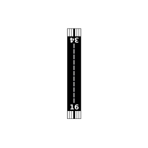
| Landebahnen | 16/34 |
| Fluginformation (FIR) | Ujung Pandang |
| Runway | RWY-Richtung | Seitenwind | Gegenwind |
|---|---|---|---|
| 16/34 | 159°/339° | - | - |
| Bareri Airport | 12 km | - | - | |||
| Kustera Airstrip | 22 km | - | - | |||
| Tayayi Airstrip | 25 km | - | - | |||
| Haya Airstrip | 39 km | - | - | |||
| Faowi Airstrip | 39 km | - | - | |||
| Kaiy Airstrip | 39 km | - | - | |||
| Eri Airstrip | 46 km | - | - | |||
| Turmo Airstrip | 50 km | - | - |