| Wetterinfo | - - |
| Koordinaten | 42.2917W 75.0667E |
| Typ | Small airport |
| Land | United States (Vereinigte Staaten von Amerika) weitere Länder... |
| Gehört zu | Treadwell |
| Orte in der Nähe | Delhi, Walton, Oneonta, West End, Unadilla, Sidney, Bainbridge, Deposit, Stamford, Worcester, |
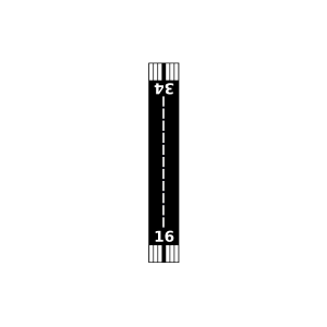
| Landebahnen | 16/34 |
| Fluginformation (FIR) | Boston |
| Runway | RWY-Richtung | Seitenwind | Gegenwind |
|---|---|---|---|
| 16/34 | 160°/340° | - | - |
| Mason Airway Airport | 8 km | - | - | |||
| Stonewall Pastures Airport | 18 km | - | - | |||
| Olmstead Landing Strip Airport | 20 km | - | - | |||
| Albert S Nader Regional Airport | 26 km | - | - | |||
| Grace's Landing Airport | 27 km | - | - | |||
| Sidney Municipal Airport | 29 km | - | - | |||
| Don Kichote-Quixote Airport | 31 km | - | - | |||
| Mountain Top Airport | 32 km | - | - | |||
| White Birch Airport | 34 km | - | - | |||
| Knapp Airport | 39 km | - | - | |||
| Cooperstown-Westville Airport | 40 km | - | - | |||
| North Fork Airport | 41 km | - | - | |||
| Roxbury Runway Airport | 43 km | - | - | |||
| Miller Field | 44 km | - | - | |||
| Suntime Airport | 48 km | - | - | |||
| KOIC | Lt. Warren Eaton Airport | 48 km | METAR | TAF | ||
| Hiawatha Airport | 49 km | - | - |