| Wetterinfo | METAR TAF |
| Koordinaten | 46.9712W 123.9366E |
| Typ | Midsized airport |
| Land | United States (Vereinigte Staaten von Amerika) weitere Länder... |
| Gehört zu | Hoquiam |
| Orte in der Nähe | Hoquiam, Aberdeen, Cosmopolis, Westport, Ocean Shores, Central Park, Montesano, Raymond, South Bend, Elma, |
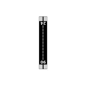
| Landebahnen | 06/24 |
| Fluginformation (FIR) | Seattle |
| Runway | RWY-Richtung | Seitenwind | Gegenwind |
|---|---|---|---|
| 06/24 | 79°/259° | - | - |
| Westport Airport | 15 km | - | - | |||
| Ocean Shores Municipal Airport | 16 km | - | - | |||
| Wishkah River Ranch Airport | 18 km | - | - | |||
| Hogan's Corner Airport | 18 km | - | - | |||
| Grayland Intergalactic Airport | 22 km | - | - | |||
| Copalis State Airport | 27 km | - | - | |||
| Willapa Harbor Airport | 32 km | - | - | |||
| My Airport | 35 km | - | - | |||
| Banas Field | 36 km | - | - | |||
| D And B Airpark | 42 km | - | - |