| Wetterinfo | - - |
| Koordinaten | 37.4585W 75.8788E |
| Typ | Small airport |
| Land | United States (Vereinigte Staaten von Amerika) weitere Länder... |
| Gehört zu | Weirwood |
| Orte in der Nähe | Exmore, Eastville, Cape Charles, Onancock, Accomac, Mathews, Deltaville, |
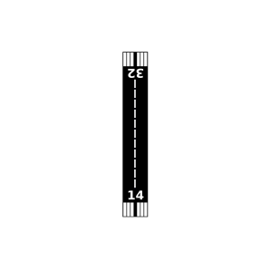
| Landebahnen | 03/21, 14/32 |
| Fluginformation (FIR) | Washington |
| Runway | RWY-Richtung | Seitenwind | Gegenwind |
|---|---|---|---|
| 03/21 | 30°/210° | - | - |
| 14/32 | 140°/320° | - | - |
| Bigler Airfield | 4 km | - | - | |||
| Machipongo International Airport | 8 km | - | - | |||
| Painter Field | 14 km | - | - | |||
| Eagles Nest Airport | 18 km | - | - | |||
| The Salmon Farm Airport | 19 km | - | - | |||
| Cherrystone Airport | 22 km | - | - | |||
| KMFV | Accomack County Airport | 23 km | METAR | TAF | ||
| Coastal Seaplanes Cape Charles Seaplane Base | 25 km | - | - | |||
| Scott Farm Strip Airport | 27 km | - | - | |||
| Starbase | 27 km | - | - | |||
| Onley Airport | 28 km | - | - | |||
| Earth Airport | 29 km | - | - | |||
| Peace And Plenty Farm Airport | 31 km | - | - | |||
| Bull Farm Airport | 34 km | - | - | |||
| Coastal Seaplanes Seaplane Base | 37 km | - | - | |||
| KTGI | Tangier Island Airport | 42 km | METAR | TAF | ||
| Crippen Creek Farm Airport | 43 km | - | - | |||
| Foster Field | 44 km | - | - | |||
| Holly Point Airport | 45 km | - | - | |||
| Midway Airport | 46 km | - | - |