| Wetterinfo | - - |
| Koordinaten | 36.7651W 84.1994E |
| Typ | Small airport |
| Land | United States (Vereinigte Staaten von Amerika) weitere Länder... |
| Gehört zu | Williamsburg |
| Orte in der Nähe | Williamsburg, Jellico, Corbin, North Corbin, Whitley City, Pine Knot, Stearns, Barbourville, Oneida, London, |
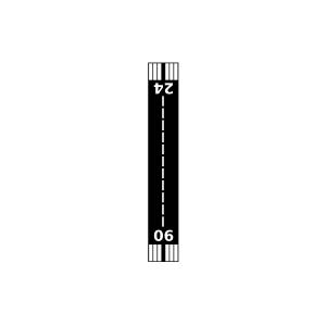
| Landebahnen | 06/24 |
| Fluginformation (FIR) | Indianapolis |
| Runway | RWY-Richtung | Seitenwind | Gegenwind |
|---|---|---|---|
| 06/24 | 60°/240° | - | - |
| KBYL | Williamsburg-Whitley County Airport | 3 km | METAR | TAF | ||
| McCreary County Airport | 19 km | - | - | |||
| Tec Field | 30 km | - | - | |||
| KLOZ | London/Corbin/Magee Airport | 37 km | METAR | TAF | ||
| Boss Airport | 44 km | - | - | |||
| Middlesboro/Bell County Airport | 45 km | - | - | |||
| KJAU | Colonel Tommy C Stiner Airfield | 48 km | METAR | TAF | ||
| KSCX | Scott Municipal Airport | 49 km | METAR | TAF | ||
| KSME | Lake Cumberland Regional Airport | 49 km | METAR | TAF | ||
| Deerfield Resort | 49 km | - | - |