| Wetterinfo | - - |
| Koordinaten | 29.228W 82.9437E |
| Typ | Small airport |
| Land | United States (Vereinigte Staaten von Amerika) weitere Länder... |
| Gehört zu | Cedar Key |
| Orte in der Nähe | Chiefland, Manatee Road, Inglis, Bronson, Williston Highlands, East Bronson, Trenton, Cross City, Crystal River, |
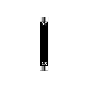
| Landebahnen | 18/36 |
| Fluginformation (FIR) | Jacksonville |
| Runway | RWY-Richtung | Seitenwind | Gegenwind |
|---|---|---|---|
| 18/36 | 180°/0° | - | - |
| KCDK | George T Lewis Airport | 15 km | METAR | TAF | ||
| Chiefland Sky Ranch Airport | 20 km | - | - | |||
| Manatee Springs Airport | 30 km | - | - | |||
| Manatee Seaplane Base | 31 km | - | - | |||
| Brookins Air Strip Airport | 32 km | - | - | |||
| White Farms Airport | 33 km | - | - | |||
| Good Dog Landing Airport | 37 km | - | - | |||
| Windy Acres Airport | 38 km | - | - | |||
| Wings Field | 39 km | - | - | |||
| Ames Field | 41 km | - | - | |||
| Redtail Airstrip Airport | 43 km | - | - | |||
| J R'S Airport | 45 km | - | - | |||
| KCTY | Cross City Airport | 48 km | METAR | TAF | ||
| Williston Municipal Airport | 48 km | - | - |