| Wetterinfo | - - |
| Koordinaten | 21.7873W 103.7744E |
| Typ | Small airport |
| Land | Mexico (Mexiko) weitere Länder... |
| Gehört zu | Chimaltitán |
| Orte in der Nähe | San Martín de Bolaños, Tuxpan de Bolaños, Villa Guerrero, Atolinga, Puente de Camotlán, Temastián (La Cantera), Totatiche, Florencia, Tepechitlán, Cicacalco, |
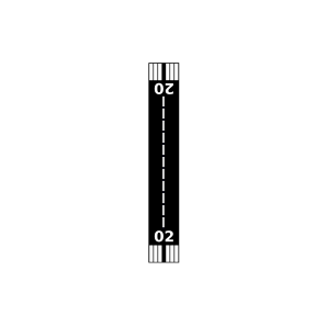
| Landebahnen | 02/20 |
| Fluginformation (FIR) | Mexico |
| Runway | RWY-Richtung | Seitenwind | Gegenwind |
|---|---|---|---|
| 02/20 | 30°/210° | - | - |
| San Martin De Bolaños Airport | 12 km | - | - | |||
| Tuxpan de Bolaños Airstrip | 27 km | - | - | |||
| San Martín de Bolaños Airstrip | 31 km | - | - | |||
| Popota Airstrip | 33 km | - | - | |||
| Puente de Camotlán Airstrip | 34 km | - | - | |||
| La Ciruelilla Airstrip | 34 km | - | - | |||
| Apozolco Airport | 42 km | - | - | |||
| San Juan Ixtapalapa Airport | 44 km | - | - | |||
| Ramon Lopez Velarde Airport | 49 km | - | - |