| Wetterinfo | METAR TAF |
| Koordinaten | 32.5161W 84.9399E |
| Typ | Midsized airport |
| Land | United States (Vereinigte Staaten von Amerika) weitere Länder... |
| Gehört zu | Columbus |
| Orte in der Nähe | Columbus, Phenix City, Ladonia, Smiths Station, Hamilton, Cusseta, Pine Mountain, Valley, Talbotton, Sardis, |
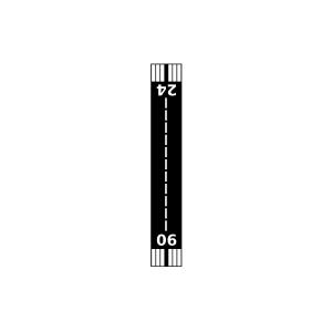
| Landebahnen | 06/24, 13/31 |
| Fluginformation (FIR) | Atlanta |
| Runway | RWY-Richtung | Seitenwind | Gegenwind |
|---|---|---|---|
| 06/24 | 54°/234° | - | - |
| 13/31 | 127°/307° | - | - |
| Mclendon Field | 17 km | - | - | |||
| KLSF | Lawson Army Air Field (Fort Moore) | 21 km | METAR | TAF | ||
| Waverly Landing Airport | 30 km | - | - | |||
| Finkley Farm Airport | 31 km | - | - | |||
| Flying C'S Plantation Airport | 35 km | - | - | |||
| KPIM | Harris County Airport | 36 km | METAR | TAF | ||
| Lanett Regional Airport | 43 km | - | - | |||
| Sommerset Strip Airport | 46 km | - | - | |||
| KAUO | Auburn University Regional Airport | 48 km | METAR | TAF | ||
| Marion County Airport | 48 km | - | - | |||
| Grayhill Airport | 49 km | - | - |