| Wetterinfo | - - |
| Koordinaten | 22.2515W 78.8968E |
| Typ | Small airport |
| Land | Cuba (Kuba) weitere Länder... |
| Gehört zu | |
| Orte in der Nähe | Chambas, Florencia, Morón, Ciro Redondo, Yaguajay, Majagua, Jatibonico, Taguasco, Ciego de Ávila, |
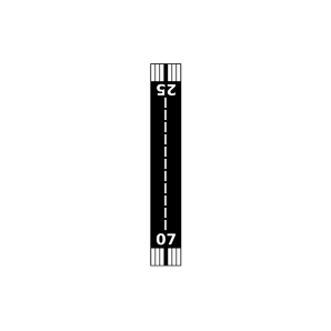
| Landebahnen | 07/25 |
| Fluginformation (FIR) | Habana |
| Runway | RWY-Richtung | Seitenwind | Gegenwind |
|---|---|---|---|
| 07/25 | 66°/246° | - | - |
| Adelaide Airport | 12 km | - | - | |||
| MUPA | Punta Alegre Airport | 16 km | - | - | ||
| MUMJ | Mayajigua Airport | 17 km | - | - | ||
| MUCA | Maximo Gomez Airport | 27 km | METAR | TAF | ||
| Pina Airport | 34 km | - | - | |||
| Moron Airport | 34 km | - | - | |||
| MUBR | Las Brujas Airport | 49 km | - | - | ||
| Jatibonico South Airport | 49 km | - | - | |||
| MUOC | Cayo Coco Airport | 49 km | - | - | ||
| MUCD | Ciego De Avila Sur Airport | 50 km | - | - |