| Wetterinfo | - - |
| Koordinaten | 49.7023W 113.4205E |
| Typ | Small airport |
| Land | Canada (Kanada) weitere Länder... |
| Gehört zu | Fort Macleod |
| Orte in der Nähe | Fort Macleod, Coalhurst, Claresholm, Lethbridge, Pincher Creek, Picture Butte, |
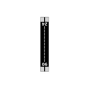
| Landebahnen | 06/24 |
| Fluginformation (FIR) | Edmonton |
| Runway | RWY-Richtung | Seitenwind | Gegenwind |
|---|---|---|---|
| 06/24 | 75°/255° | - | - |
| Fort Macleod (Alcock Farm) Airport | 16 km | - | - | |||
| CXBR | Brocket Agdm | 30 km | - | - | ||
| CPBT | Blood Tribe Agdm | 33 km | - | - | ||
| CWDK | Claresholm Automatic Weather Reporting System | 37 km | - | - | ||
| Claresholm Industrial Airport | 37 km | - | - | |||
| Beck Farm Airport | 42 km | - | - | |||
| CYQL | Lethbridge County Airport | 46 km | METAR | TAF | ||
| CWQL | Lethbridge Automated Reporting Station | 46 km | - | - | ||
| CZPC | Pincher Creek Airport | 46 km | METAR | TAF | ||
| Lethbridge / Anderson Field | 47 km | - | - | |||
| CPQL | Lethbridge Demo | 48 km | - | - | ||
| CYYM | Cowley Airport | 49 km | - | - | ||
| Lethbridge / J3 Airfield | 49 km | - | - |