| Wetterinfo | - - |
| Koordinaten | 32.1676W 85.8112E |
| Typ | Small airport |
| Land | United States (Vereinigte Staaten von Amerika) weitere Länder... |
| Gehört zu | Union Springs |
| Orte in der Nähe | Union Springs, Inverness, Pike Road, Tuskegee, Emerald Mountain, Tallassee, Troy, Taylor, Clayton, Brundidge, |
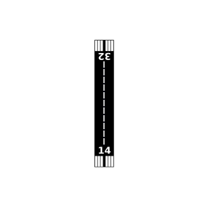
| Landebahnen | 14/32 |
| Fluginformation (FIR) | Atlanta |
| Runway | RWY-Richtung | Seitenwind | Gegenwind |
|---|---|---|---|
| 14/32 | 139°/319° | - | - |
| Spratling Field | 21 km | - | - | |||
| Sehoy Airport | 32 km | - | - | |||
| Moton Field Municipal | 35 km | - | - | |||
| Kershaw Airport | 36 km | - | - | |||
| Sawtooth Plantation Airport | 38 km | - | - | |||
| KTOI | Troy Municipal At N Kenneth Campbell Field | 39 km | METAR | TAF | ||
| Little Texas Airport | 40 km | - | - | |||
| Emerald Mountain Airport | 43 km | - | - | |||
| Clayton Municipal Airport | 44 km | - | - |