| Wetterinfo | METAR TAF |
| Koordinaten | 20.3656W 74.5062E |
| Typ | Midsized airport |
| Land | Cuba (Kuba) weitere Länder... |
| Gehört zu | Baracoa |
| Orte in der Nähe | Baracoa, La Máquina, Maisí, San Antonio del Sur, Palenque, |
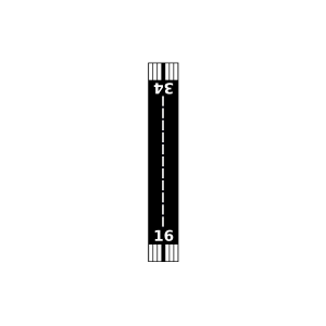
| Landebahnen | 16/34 |
| Fluginformation (FIR) | Habana |
| Runway | RWY-Richtung | Seitenwind | Gegenwind |
|---|---|---|---|
| 16/34 | 155°/335° | - | - |
| Imias Airport | 34 km | - | - | |||
| MUMA | Alfredo Noa Díaz Airport | 40 km | - | - |