| Wetterinfo | - - |
| Koordinaten | 44.3202W 85.1708E |
| Typ | Small airport |
| Land | United States (Vereinigte Staaten von Amerika) weitere Länder... |
| Gehört zu | Lake City |
| Orte in der Nähe | Lake City, Cadillac, Manton, Houghton Lake, Kingsley, Prudenville, Harrison, Kalkaska, Evart, |
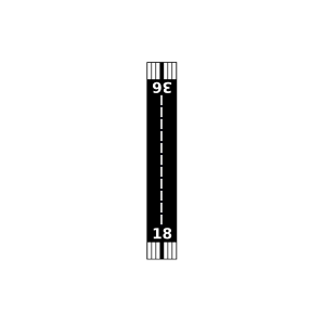
| Landebahnen | 09/27, 18/36 |
| Fluginformation (FIR) | Minneapolis |
| Runway | RWY-Richtung | Seitenwind | Gegenwind |
|---|---|---|---|
| 09/27 | 91°/271° | - | - |
| 18/36 | 180°/0° | - | - |
| KCAD | Wexford County Airport | 20 km | METAR | TAF | ||
| Moorestown Airpark | 21 km | - | - | |||
| Houghton Lake State Airport | 30 km | - | - | |||
| Tannehill Airfield | 32 km | - | - | |||
| King Trout Airport | 37 km | - | - | |||
| KHTL | Roscommon County/Blodgett Memorial Airport | 40 km | METAR | TAF | ||
| Clare County Airport | 41 km | - | - | |||
| Doss Field | 44 km | - | - | |||
| Kalkaska City Airport | 45 km | - | - | |||
| Eagles Landing Airport | 48 km | - | - | |||
| Evart Municipal Airport | 48 km | - | - |