| Wetterinfo | METAR TAF |
| Koordinaten | 21.4204W 77.8474E |
| Typ | Midsized airport |
| Land | Cuba (Kuba) weitere Länder... |
| Gehört zu | Camaguey |
| Orte in der Nähe | Camagüey, Jimaguayú, Minas, Cubitas, Vertientes, Sibanicú, Najasa, Florida, Carlos Manuel de Céspedes, |
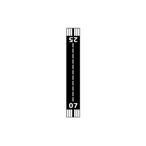
| Landebahnen | 07/25 |
| Fluginformation (FIR) | Habana |
| Runway | RWY-Richtung | Seitenwind | Gegenwind |
|---|---|---|---|
| 07/25 | 70°/250° | - | - |
| Vertientes Airport | 34 km | - | - | |||
| MUFL | Florida Airport | 38 km | - | - | ||
| Hatuey Airport | 40 km | - | - | |||
| MUGA | Central Agramonte Airport | 42 km | - | - | ||
| Amansa Guapos Airport | 44 km | - | - | |||
| San Carlos Airport | 49 km | - | - |