| Wetterinfo | - - |
| Koordinaten | 64.7048W 19.4122E |
| Typ | Small airport |
| Land | Iceland (Island) weitere Länder... |
| Gehört zu | Kerlingafjöll |
| Orte in der Nähe | |
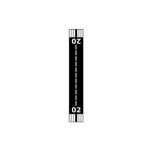
| Landebahnen | 10/28, 02/20 |
| Fluginformation (FIR) | Reykjavik |
| Runway | RWY-Richtung | Seitenwind | Gegenwind |
|---|---|---|---|
| 10/28 | 82°/262° | - | - |
| 02/20 | 353°/173° | - | - |
| BIHI | Hveravellir Airport | 20 km | - | - | ||
| BISP | Sprengisandur Airport | 44 km | - | - | ||
| BITO | Thorisos Airport | 48 km | - | - | ||
| Sandá Airport | 49 km | - | - |