| Wetterinfo | METAR TAF |
| Koordinaten | 5.0695N 97.2592E |
| Typ | Midsized airport |
| Land | Indonesia (Indonesien) weitere Länder... |
| Gehört zu | Lhok Sukon-Sumatra Island |
| Orte in der Nähe | Matangkuli, Matangpayang, Lhokseumawe, Blangpulo, Blang Ara, Seunudon, Simpang Ulim, Kota Binjai, Seuneubok Bayu, Bulahblangaro, |
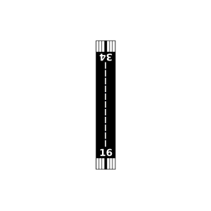
| Landebahnen | 16/34 |
| Fluginformation (FIR) | Jakarta |
| Runway | RWY-Richtung | Seitenwind | Gegenwind |
|---|---|---|---|
| 16/34 | 155°/335° | - | - |
| WITM | Malikus Saleh Airport | 38 km | - | - |