| Wetterinfo | - - |
| Koordinaten | 34.9081W 96.2436E |
| Typ | Small airport |
| Land | United States (Vereinigte Staaten von Amerika) weitere Länder... |
| Gehört zu | Calvin |
| Orte in der Nähe | Holdenville, Wewoka, Wetumka, Byng, Coalgate, Ada, McAlester, Konawa, Krebs, |
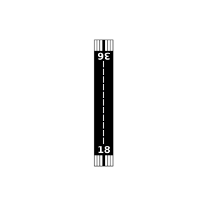
| Landebahnen | 18/36 |
| Fluginformation (FIR) | Ft Worth |
| Runway | RWY-Richtung | Seitenwind | Gegenwind |
|---|---|---|---|
| 18/36 | 181°/1° | - | - |
| Christopher M Rippee Memorial Airport | 15 km | - | - | |||
| Flying H Airport | 21 km | - | - | |||
| Holdenville Municipal Airport | 25 km | - | - | |||
| Rock Creek Farm Airport | 28 km | - | - | |||
| Pheasant Wings Airport | 34 km | - | - | |||
| Rocky Point Airport | 34 km | - | - | |||
| Petes Airpark | 36 km | - | - | |||
| Valley Airport | 38 km | - | - | |||
| Thomas Ranch Airport | 38 km | - | - | |||
| KADH | Ada Regional Airport | 41 km | METAR | TAF | ||
| City Of Coalgate Airport | 42 km | - | - | |||
| KMLC | McAlester Regional Airport | 42 km | METAR | TAF | ||
| Hallum Ranch Airport | 44 km | - | - |