logo
freizeitwetter .info
Impressum Nutzungsbedingungen Attributions

© Schulkreis.de e.K.
Freizeitwetter.info Version 3.5.4

Alle Angaben ohne Gewähr. Daten nur zu Demozwecken verwenden!

SCUP

Lontuecito Airport


0 km/h
Flugplatzdetails
Wetterinfo- -
Koordinaten35.2822W 71.2364E
TypSmall airport
LandChile (Chile) weitere Länder...
Gehört zuCumpeo
Orte in der Nähe Molina, Curicó, San Clemente, Rauco, Talca, Teno, Colbún,
Landebahnen 03/21
Fluginformation (FIR)Santiago
Umgebungskarte Lontuecito Airport

Anflug-Informationen

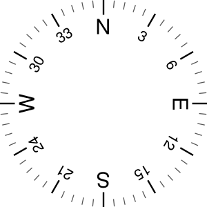
Klicke den Kompass an, um die Landebahn in Position zu drehen.
0 km/h

Landebahn-Informationen

Liste der verfügbaren Landebahnen, vermutlich aktive Piste hervorgehoben.
Runway RWY-Richtung Seitenwind Gegenwind
03/21 30°/210° - -

Wettervorhersage (DWD)

Station:
Keine Wetterdaten vorhanden.

Flugplätze in der Nähe

SCUM La Obra Airport 9 km - -
SCBV Bellavista Airport 12 km - -
SCLP Los Petiles Airport 14 km - -
SCXA Alupenhue Airport 16 km - -
SCKK La Cascada Airport 16 km - -
SCMO Los Monos Airport 20 km - -
SCMV Viña San Pedro Airport 21 km - -
SCBU El Baúl Airstrip 30 km - -
SCTL Panguilemo Airport 35 km METAR TAF
SCIC General Freire Airport 35 km - -
SCED Los Cedros Airport 36 km - -
Santa Bárbara Airport 36 km - -
SCRO Santa Bárbara 40 km - -
SCOE San Miguel Airport 41 km - -
SCKI Los Lirios Airport 42 km - -
SCSK Colorado Airport 43 km - -
La Montaña Airport 44 km - -
SCAM Alempue Airport 48 km - -
SCTM La Montaña 50 km - -
SCZR Los Zorrillos de Tonlemu 50 km - -
Alle Angaben ohne Gewähr. Daten nur zu Demozwecken verwenden!