| Wetterinfo | - - |
| Koordinaten | 46.9505W 67.8853E |
| Typ | Small airport |
| Land | United States (Vereinigte Staaten von Amerika) weitere Länder... |
| Gehört zu | Limestone |
| Orte in der Nähe | Limestone, Madawaska, Caribou, Grand Falls, Fort Fairfield, Van Buren, Saint-Léonard, Presque Isle, Easton, Plaster Rock, |
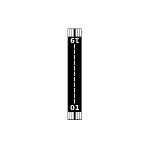
| Landebahnen | 01/19 |
| Fluginformation (FIR) | Boston |
| Runway | RWY-Richtung | Seitenwind | Gegenwind |
|---|---|---|---|
| 01/19 | 346°/166° | - | - |
| KCAR | Caribou Municipal Airport | 13 km | METAR | TAF | ||
| Grand Falls Airport | 21 km | - | - | |||
| Morrill Airpark | 21 km | - | - | |||
| Fort Fairfield | 21 km | - | - | |||
| CWIY | St Leonard Automatic Weather Reporting System | 23 km | - | - | ||
| CYSL | St. Leonard Airport | 23 km | METAR | TAF | ||
| Van Buren Seaplane Base | 23 km | - | - | |||
| Bresett's Mountainside Airport | 29 km | - | - | |||
| Presque Isle Seaplane Base | 30 km | - | - | |||
| KPQI | Presque Isle International Airport | 32 km | METAR | TAF | ||
| Russell Field | 36 km | - | - | |||
| Long Lake Seaplane Base | 38 km | - | - | |||
| Upper Kent Airport | 42 km | - | - | |||
| Sunrise Farms Airport | 45 km | - | - | |||
| Mars Hill Airport | 47 km | - | - | |||
| KFVE | Northern Aroostook Regional Airport | 49 km | METAR | TAF | ||
| Allen St. Peter Memorial Airport | 50 km | - | - | |||
| Portage Lake Municipal Seaplane Base | 50 km | - | - |