| Wetterinfo | - - |
| Koordinaten | 43.2093W 112.3496E |
| Typ | Small airport |
| Land | United States (Vereinigte Staaten von Amerika) weitere Länder... |
| Gehört zu | Blackfoot |
| Orte in der Nähe | Blackfoot, Moreland, Fort Hall, Shelley, Tyhee, Chubbuck, Idaho Falls, Pocatello, Ammon, Lincoln, |
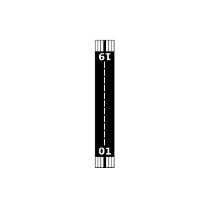
| Landebahnen | 01/19 |
| Fluginformation (FIR) | Salt Lake |
| Runway | RWY-Richtung | Seitenwind | Gegenwind |
|---|---|---|---|
| 01/19 | 24°/204° | - | - |
| Russell W Anderson Strip Airport | 10 km | - | - | |||
| Rockford Municipal Airport | 15 km | - | - | |||
| Rainbow Ranch Airport | 37 km | - | - | |||
| KPIH | Pocatello Regional Airport | 39 km | METAR | TAF | ||
| KIDA | Idaho Falls Regional Airport | 41 km | METAR | TAF | ||
| Midway Airport | 46 km | - | - |