| Wetterinfo | - - |
| Koordinaten | 31.5861W 84.7906E |
| Typ | Small airport |
| Land | United States (Vereinigte Staaten von Amerika) weitere Länder... |
| Gehört zu | Edison |
| Orte in der Nähe | Edison, Arlington, Morgan, Cuthbert, Fort Gaines, Blakely, Dawson, Abbeville, Georgetown, Colquitt, |
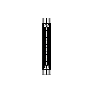
| Landebahnen | 18/36 |
| Fluginformation (FIR) | Jacksonville |
| Runway | RWY-Richtung | Seitenwind | Gegenwind |
|---|---|---|---|
| 18/36 | 180°/0° | - | - |
| Lower Chattahoochee Regional Airport | 13 km | - | - | |||
| Jordans Airport | 18 km | - | - | |||
| Andrews Airport | 20 km | - | - | |||
| KBIJ | Early County Airport | 23 km | METAR | TAF | ||
| Sawyer Farm Airport | 24 km | - | - | |||
| Coates Airport | 24 km | - | - | |||
| Dawson Municipal Airport | 39 km | - | - | |||
| Young Field | 41 km | - | - | |||
| Abbeville Municipal Airport | 42 km | - | - | |||
| Grand Oak Plantation Airport | 48 km | - | - | |||
| Pinebloom Plantation Airport | 49 km | - | - |