| Wetterinfo | METAR TAF |
| Koordinaten | 45.6477W 68.6857E |
| Typ | Midsized airport |
| Land | United States (Vereinigte Staaten von Amerika) weitere Länder... |
| Gehört zu | Millinocket |
| Orte in der Nähe | Millinocket, East Millinocket, Medway, Lincoln, Patten, Enfield, Howland, Brownville, Milo, |
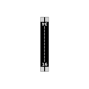
| Landebahnen | 11/29, 16/34 |
| Fluginformation (FIR) | Boston |
| Runway | RWY-Richtung | Seitenwind | Gegenwind |
|---|---|---|---|
| 11/29 | 90°/270° | - | - |
| 16/34 | 139°/319° | - | - |
| Millinocket Seaplane Base | 15 km | - | - | |||
| Buckhorn Camps Seaplane Base | 21 km | - | - | |||
| KLRG | Lincoln Regional Airport | 34 km | METAR | TAF | ||
| Webber Jones Airport | 45 km | - | - | |||
| Buzzport Airport | 48 km | - | - |