| Wetterinfo | METAR TAF |
| Koordinaten | 41.0767W 71.9205E |
| Typ | Midsized airport |
| Land | United States (Vereinigte Staaten von Amerika) weitere Länder... |
| Gehört zu | Montauk |
| Orte in der Nähe | Montauk, Springs, Amagansett, East Hampton North, East Hampton, Northwest Harbor, Noank, Poquonock Bridge, Mystic, New Shoreham, |
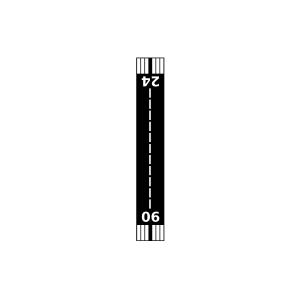
| Landebahnen | 06/24 |
| Fluginformation (FIR) | Boston |
| Runway | RWY-Richtung | Seitenwind | Gegenwind |
|---|---|---|---|
| 06/24 | 47°/227° | - | - |
| Elizabeth Field | 22 km | - | - | |||
| KGON | Groton-New London Airport | 30 km | METAR | TAF | ||
| Rose Field | 30 km | - | - | |||
| Stonington Airpark | 30 km | - | - | |||
| KBID | Block Islanorth Dakota State Airport | 30 km | METAR | TAF | ||
| KJPX | East Hampton Town Airport | 31 km | METAR | TAF | ||
| KWST | Westerly State Airport | 32 km | METAR | TAF | ||
| Klenawicus Airfield | 34 km | - | - | |||
| Foster Farm Airport | 35 km | - | - | |||
| Westmoreland Airport | 37 km | - | - | |||
| Wychwood Field | 40 km | - | - | |||
| Mile Creek Airport | 40 km | - | - | |||
| Lord Creek Seaplane Base | 47 km | - | - |