| Wetterinfo | METAR TAF |
| Koordinaten | 30.9687W 83.1931E |
| Typ | Midsized airport |
| Land | United States (Vereinigte Staaten von Amerika) weitere Länder... |
| Gehört zu | Valdosta |
| Orte in der Nähe | Ray City, Lakeland, Valdosta, Hahira, Remerton, Nashville, Adel, Sparks, Statenville, Quitman, |
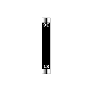
| Landebahnen | 18R/36L, 18L/36R |
| Fluginformation (FIR) | Jacksonville |
| Runway | RWY-Richtung | Seitenwind | Gegenwind |
|---|---|---|---|
| 18/36R | 180°/0° | - | - |
| 18/36L | 180°/0° | - | - |
| Mallory Field | 4 km | - | - | |||
| Christians Folly Airport | 12 km | - | - | |||
| Alyssas Animal Sanctuary Air Park Airport | 21 km | - | - | |||
| KVLD | Valdosta Regional Airport | 22 km | METAR | TAF | ||
| Paso Fino Farm Airport | 23 km | - | - | |||
| South One Ten Airport | 24 km | - | - | |||
| Berrien County Airport | 27 km | - | - | |||
| Cook County Airport | 31 km | - | - | |||
| Bird Field | 39 km | - | - | |||
| Estherbrook Aerodrome Airport | 39 km | - | - | |||
| KHOE | Homerville Airport | 41 km | METAR | TAF | ||
| Quitman Brooks County Airport | 42 km | - | - | |||
| Sunbelt Strip Airport | 49 km | - | - |