| Wetterinfo | - - |
| Koordinaten | 26.3837W 98.3336E |
| Typ | Small airport |
| Land | United States (Vereinigte Staaten von Amerika) weitere Länder... |
| Gehört zu | Mission |
| Orte in der Nähe | Citrus City, Alton North (historical), Alton, West Sharyland, Doffing, Palmhurst, La Homa, Palmview, Mission, Perezville, |
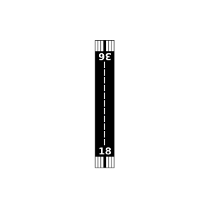
| Landebahnen | 09/27, 13/31, 18/36 |
| Fluginformation (FIR) | Houston |
| Runway | RWY-Richtung | Seitenwind | Gegenwind |
|---|---|---|---|
| 09/27 | 90°/270° | - | - |
| 13/31 | 130°/310° | - | - |
| 18/36 | 180°/0° | - | - |
| BFS West Airport | 12 km | - | - | |||
| Norman & White Airport | 18 km | - | - | |||
| KEBG | South Texas International At Edinburg Airport | 22 km | METAR | TAF | ||
| Omni Ranch | 25 km | - | - | |||
| KMFE | McAllen International Airport | 25 km | METAR | TAF | ||
| Venecia Airport | 30 km | - | - | |||
| Mid-Valley Dusters Inc. Airport | 32 km | - | - | |||
| Rowland Dusters Airport | 39 km | - | - | |||
| Skalitsky Airport | 40 km | - | - | |||
| KTXW | Mid Valley Airport | 42 km | METAR | TAF | ||
| MMRX | General Lucio Blanco International Airport | 43 km | METAR | TAF | ||
| Diamond O Ranch Airport | 44 km | - | - |