| Wetterinfo | METAR TAF |
| Koordinaten | 49.0547W 123.8701E |
| Typ | Midsized airport |
| Land | Canada (Kanada) weitere Länder... |
| Gehört zu | Nanaimo |
| Orte in der Nähe | North Oyster/Yellow Point, Cedar, Ladysmith, Chase River, Harewood, South End, Gabriola, Nanaimo, Saltair, East Wellington, |
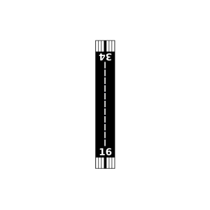
| Landebahnen | 16/34 |
| Fluginformation (FIR) | Vancouver |
| Runway | RWY-Richtung | Seitenwind | Gegenwind |
|---|---|---|---|
| 16/34 | 181°/1° | - | - |
| Quennell Lake Seaplane Base | 4 km | - | - | |||
| Nanaimo Harbour Water Airport | 14 km | - | - | |||
| CSYF | Silva Bay Seaplane Base | 17 km | - | - | ||
| Telegraph Harbour Seaplane Base | 18 km | - | - | |||
| CWEL | Entrance Island Automatic Weather Reporting System | 19 km | - | - | ||
| Nanaimo/Long Lake Seaplane Base | 20 km | - | - | |||
| CXSI | Mt Sicker Radar | 23 km | - | - | ||
| Quamichan Lake (Raven Field) Airport | 31 km | - | - | |||
| Quamichan Lake (Raven Field) Seaplane Base | 32 km | - | - | |||
| Maple Bay Seaplane Base | 33 km | - | - | |||
| Ganges Seaplane Base | 35 km | - | - | |||
| Duncan Airport | 35 km | - | - | |||
| Long Harbour Airport | 36 km | - | - | |||
| CWGB | Ballenas Island Automatic Weather Reporting System | 39 km | - | - | ||
| CWVF | Sand Heads CS, B. C. | 42 km | - | - | ||
| CWMR | Merry Island | 46 km | - | - | ||
| Sechelt-Gibsons Airport | 47 km | - | - | |||
| Sechelt/Porpoise Bay Water Aerodrome | 48 km | - | - | |||
| Qualicum Beach Airport | 49 km | - | - | |||
| Shawnigan Lake Seaplane Base | 50 km | - | - |