| Wetterinfo | - - |
| Koordinaten | 29.7352W 90.7007E |
| Typ | Small airport |
| Land | United States (Vereinigte Staaten von Amerika) weitere Länder... |
| Gehört zu | Raceland |
| Orte in der Nähe | Gray, Raceland, Schriever, Bayou Cane, Thibodaux, Houma, Mathews, Lockport Heights, Bayou Boeuf, Lockport, |
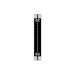
| Landebahnen | 02/20 |
| Fluginformation (FIR) | Houston |
| Runway | RWY-Richtung | Seitenwind | Gegenwind |
|---|---|---|---|
| 02/20 | 19°/199° | - | - |
| Theriot Field | 4 km | - | - | |||
| Pierce Field | 6 km | - | - | |||
| Blouin Flightpark | 6 km | - | - | |||
| Thibodaux Municipal Airport | 13 km | - | - | |||
| KHUM | Houma-Terrebonne Airport | 19 km | METAR | TAF | ||
| Daneco Landing Strip Airport | 20 km | - | - | |||
| Greenwood Plantation | 24 km | - | - | |||
| Marmande Airport | 30 km | - | - | |||
| Triche Field | 38 km | - | - | |||
| Bayou Boeuf Seaplane Base | 39 km | - | - | |||
| KAPS | Port Of South Louisiana Executive Regional Airport | 41 km | METAR | TAF | ||
| Whitehall | 43 km | - | - | |||
| St. Charles Airport | 47 km | - | - |