| Wetterinfo | - - |
| Koordinaten | 27.6323W 80.5276E |
| Typ | Small airport |
| Land | United States (Vereinigte Staaten von Amerika) weitere Länder... |
| Gehört zu | Vero Beach |
| Orte in der Nähe | West Vero Corridor, Vero Beach South, Gifford, Vero Beach, Winter Beach, Florida Ridge, Lakewood Park, Fellsmere, Indian River Shores, South Beach, |
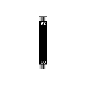
| Landebahnen | 18/36 |
| Fluginformation (FIR) | Miami |
| Runway | RWY-Richtung | Seitenwind | Gegenwind |
|---|---|---|---|
| 18/36 | 180°/0° | - | - |
| Indian River Aerodrome Airport | 4 km | - | - | |||
| Fly In Ranches Airport | 8 km | - | - | |||
| Wee Bee Sky Ranch Airport | 11 km | - | - | |||
| KVRB | Vero Beach Regional Airport | 11 km | METAR | TAF | ||
| Broocke Air Patch Airport | 11 km | - | - | |||
| Fellsmere Airport | 18 km | - | - | |||
| Sebastian Municipal Airport | 20 km | - | - | |||
| Baggett Airport | 21 km | - | - | |||
| Dragonfly Airport | 21 km | - | - | |||
| KFPR | Treasure Coast International Airport | 21 km | METAR | TAF | ||
| Southeastern Airport | 25 km | - | - | |||
| Lake Montaza Airport | 29 km | - | - | |||
| Hales 700 Airport | 30 km | - | - | |||
| Fort Pierce Seaplane Base | 31 km | - | - | |||
| Fulton Seaplane Base | 31 km | - | - | |||
| Russakis Ranch Airport | 32 km | - | - | |||
| Aero Acres Airport | 32 km | - | - | |||
| Indian Hammock Airport | 33 km | - | - | |||
| Valkaria Airport | 37 km | - | - | |||
| Citrus Hedging Ranch Airport | 38 km | - | - | |||
| Gary Stark Airport | 38 km | - | - | |||
| Paxton Airport | 38 km | - | - | |||
| RLM Farms Airport | 38 km | - | - | |||
| Sunniland Ranch Airport | 38 km | - | - | |||
| Citrus Hedging Ranch Airport | 39 km | - | - | |||
| Evans Properties Inc. Airport | 40 km | - | - | |||
| Treasure Coast Airpark | 44 km | - | - | |||
| Southern Fruit Groves Airport | 46 km | - | - | |||
| Escape Ranch Airport | 50 km | - | - |