| Wetterinfo | - - |
| Koordinaten | 47.9331W 101.1482E |
| Typ | Small airport |
| Land | United States (Vereinigte Staaten von Amerika) weitere Länder... |
| Gehört zu | Sawyer |
| Orte in der Nähe | Velva, Surrey, Minot, Garrison, Burlington, |
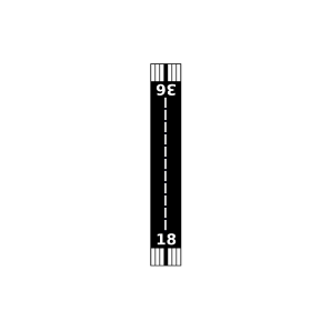
| Landebahnen | 18/36 |
| Fluginformation (FIR) | Minneapolis |
| Runway | RWY-Richtung | Seitenwind | Gegenwind |
|---|---|---|---|
| 18/36 | 181°/1° | - | - |
| Poleschook Airport | 8 km | - | - | |||
| Warren Pietsch Airport | 20 km | - | - | |||
| Semchenko Airport | 20 km | - | - | |||
| Hill Airport | 23 km | - | - | |||
| Linrud Airstrip Airport | 26 km | - | - | |||
| Sundre Airport | 29 km | - | - | |||
| Flying S Ranch Airport | 36 km | - | - | |||
| Garrison Weather Station | 37 km | - | - | |||
| KMOT | Minot International Airport | 37 km | METAR | TAF | ||
| Garrison Municipal Airport | 38 km | - | - | |||
| Cloud 9 Airport | 41 km | - | - | |||
| Fischer Airport | 44 km | - | - | |||
| Pietschtree Airstrip Airport | 45 km | - | - |