| Wetterinfo | - - |
| Koordinaten | 38.0646W 89.3874E |
| Typ | Small airport |
| Land | United States (Vereinigte Staaten von Amerika) weitere Länder... |
| Gehört zu | Pinckneyville |
| Orte in der Nähe | Pinckneyville, Du Quoin, Steeleville, Sparta, Sesser, De Soto, Christopher, Nashville, Royalton, Murphysboro, |
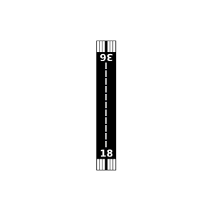
| Landebahnen | 18/36 |
| Fluginformation (FIR) | Kansas City |
| Runway | RWY-Richtung | Seitenwind | Gegenwind |
|---|---|---|---|
| 18/36 | 181°/1° | - | - |
| Lambert Airport | 7 km | - | - | |||
| KPJY | Pinckneyville/Du Quoin Airport | 10 km | METAR | TAF | ||
| Hepp Airport | 17 km | - | - | |||
| Adams Private Airport | 28 km | - | - | |||
| KSAR | Sparta Community-Hunter Field | 29 km | METAR | TAF | ||
| Herschel Hunter Airport | 33 km | - | - | |||
| KMDH | Southern Illinois Airport | 34 km | METAR | TAF | ||
| Dury Estates Airport | 34 km | - | - | |||
| Rendleman Airport | 34 km | - | - | |||
| Benton Municipal Airport | 40 km | - | - | |||
| Bickel Airport | 45 km | - | - | |||
| Prairie Airport | 46 km | - | - | |||
| KPCD | Perryville Regional Airport | 47 km | METAR | TAF | ||
| KMWA | Veterans Airport Of Southern Illinois | 48 km | METAR | TAF | ||
| Schaller Airport | 48 km | - | - | |||
| Lindauer Airport | 49 km | - | - | |||
| Wildy Field | 50 km | - | - |