| Wetterinfo | METAR TAF |
| Koordinaten | 50.6809W 127.3683E |
| Typ | Midsized airport |
| Land | Canada (Kanada) weitere Länder... |
| Gehört zu | Port Hardy |
| Orte in der Nähe | Port Hardy, Port McNeill, |
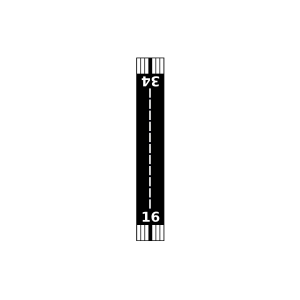
| Landebahnen | 11/29, 08/26, 16/34 |
| Fluginformation (FIR) | Vancouver |
| Runway | RWY-Richtung | Seitenwind | Gegenwind |
|---|---|---|---|
| 08/26 | 93°/273° | - | - |
| 11/29 | 130°/310° | - | - |
| 16/34 | 180°/0° | - | - |
| Port Hardy Seaplane Base | 9 km | - | - | |||
| Coal Harbour Seaplane Base | 18 km | - | - | |||
| Port McNeill Seaplane Base | 22 km | - | - | |||
| Port Mcneill Airport | 27 km | - | - | |||
| Alert Bay Seaplane Base | 33 km | - | - | |||
| CWLP | Herbert Island Meteorological Aeronautical Presentation System | 34 km | - | - | ||
| CYAL | Alert Bay Airport | 34 km | - | - | ||
| CWPI | Pine Island Meteorological Aeronautical Presentation System | 42 km | - | - | ||
| Sullivan Bay Seaplane Base | 44 km | - | - | |||
| CYGN | Greenway Sound Seaplane Base | 45 km | - | - | ||
| CYBH | Bull Harbour Water Aerodrome | 48 km | - | - |