| Wetterinfo | METAR TAF |
| Koordinaten | 45.7084W 90.4026E |
| Typ | Midsized airport |
| Land | United States (Vereinigte Staaten von Amerika) weitere Länder... |
| Gehört zu | Phillips |
| Orte in der Nähe | Phillips, Park Falls, Lac du Flambeau, |
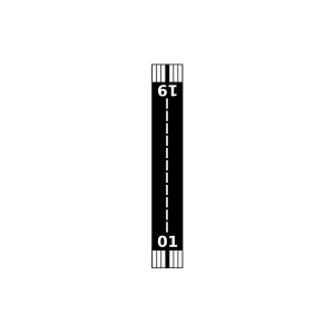
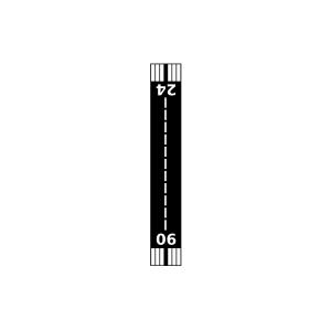
| Landebahnen | 01/19, 06/24 |
| Fluginformation (FIR) | Minneapolis |
| Runway | RWY-Richtung | Seitenwind | Gegenwind |
|---|---|---|---|
| 01/19 | 7°/187° | - | - |
| 06/24 | 59°/239° | - | - |
| Prentice Airport | 21 km | - | - | |||
| KPKF | Park Falls Municipal Airport | 27 km | METAR | TAF | ||
| Springstead Airport | 36 km | - | - | |||
| Blair Lake Airport | 47 km | - | - |