| Wetterinfo | - - |
| Koordinaten | 52.2859W 113.9135E |
| Typ | Small airport |
| Land | Canada (Kanada) weitere Länder... |
| Gehört zu | |
| Orte in der Nähe | Red Deer, Sylvan Lake, Springbrook, Blackfalds, Penhold, Bentley, Lacombe, Innisfail, Eckville, Rimbey, |
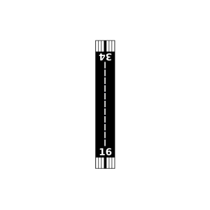
| Landebahnen | 16/34 |
| Fluginformation (FIR) | Edmonton |
| Runway | RWY-Richtung | Seitenwind | Gegenwind |
|---|---|---|---|
| 16/34 | 180°/0° | - | - |
| Truant South Airport | 1 km | - | - | |||
| Red Deer / South 40 Airstrip | 4 km | - | - | |||
| CYQF | Red Deer Regional Airport | 12 km | METAR | TAF | ||
| CWQQ | Lacombe Cda | 21 km | - | - | ||
| Safron Farms Airport | 24 km | - | - | |||
| Hillmans Farm Airport | 24 km | - | - | |||
| Innisfail Airport | 24 km | - | - | |||
| Lacombe Airport | 26 km | - | - | |||
| CZPS | Prentiss | 27 km | - | - | ||
| Hespero Airport | 37 km | - | - | |||
| Ponoka Industrial (Labrie Field) Airport | 46 km | - | - | |||
| Olds / North 40 Ranch Airstrip | 46 km | - | - | |||
| Rimbey Airport | 49 km | - | - | |||
| Olds (Netook) Airport | 50 km | - | - |