| Wetterinfo | METAR TAF |
| Koordinaten | 17.3112W 62.7187E |
| Typ | Midsized airport |
| Land | Saint Kitts and Nevis (St. Kitts und Nevis) weitere Länder... |
| Gehört zu | Basseterre |
| Orte in der Nähe | Monkey Hill, Basseterre, Cayon, Trinity, Nicola Town, Old Road Town, Middle Island, Sadlers, Sandy Point Town, Dieppe Bay Town, |
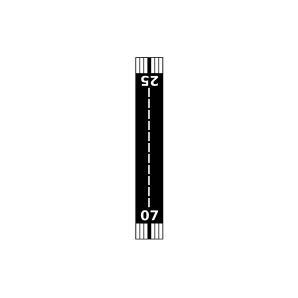
| Landebahnen | 07/25 |
| Fluginformation (FIR) | Piarco |
| Runway | RWY-Richtung | Seitenwind | Gegenwind |
|---|---|---|---|
| 07/25 | 56°/236° | - | - |
| TKPN | Vance W. Amory International Airport | 18 km | METAR | TAF | ||
| TNCE | F D Roosevelt Airport | 34 km | METAR | TAF |