| Wetterinfo | - - |
| Koordinaten | 48.7534W 98.3934E |
| Typ | Small airport |
| Land | United States (Vereinigte Staaten von Amerika) weitere Länder... |
| Gehört zu | Langdon |
| Orte in der Nähe | Langdon, |
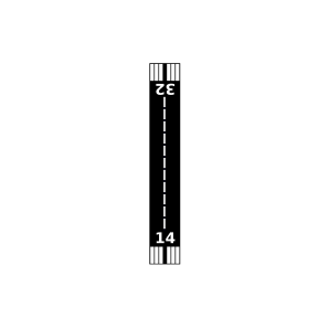
| Landebahnen | 08/26, 14/32 |
| Fluginformation (FIR) | Minneapolis |
| Runway | RWY-Richtung | Seitenwind | Gegenwind |
|---|---|---|---|
| 08/26 | 89°/269° | - | - |
| 14/32 | 139°/319° | - | - |
| Forest Airport | 28 km | - | - | |||
| Goodman Strip Airport | 30 km | - | - | |||
| Walhalla Municipal Airport | 41 km | - | - | |||
| Olafson Brothers Airport | 44 km | - | - | |||
| Amble-Tiger North Farms Airport | 49 km | - | - |