| Wetterinfo | - - |
| Koordinaten | 41.8808W 94.7772E |
| Typ | Small airport |
| Land | United States (Vereinigte Staaten von Amerika) weitere Länder... |
| Gehört zu | Coon Rapids |
| Orte in der Nähe | Coon Rapids, Glidden, Carroll, Audubon, Manning, Guthrie Center, Jefferson, Lake Panorama, Panora, Lake City, |
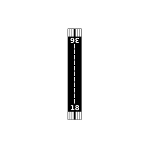
| Landebahnen | 18/36 |
| Fluginformation (FIR) | Minneapolis |
| Runway | RWY-Richtung | Seitenwind | Gegenwind |
|---|---|---|---|
| 18/36 | 180°/0° | - | - |
| KCIN | Arthur N Neu Airport | 18 km | METAR | TAF | ||
| KADU | Audubon County Airport | 23 km | METAR | TAF | ||
| Stagecoach Airport | 33 km | - | - | |||
| KGCT | Guthrie County Regional Airport | 36 km | METAR | TAF | ||
| KEFW | Jefferson Municipal Airport | 39 km | METAR | TAF | ||
| Riedesel Private Airport | 48 km | - | - | |||
| Anita Municipal-Kevin Burke Memorial Field | 49 km | - | - |