| Wetterinfo | - - |
| Koordinaten | 45.0158W 71.794E |
| Typ | Small airport |
| Land | Canada (Kanada) weitere Länder... |
| Gehört zu | Stanhope |
| Orte in der Nähe | Coaticook, Colebrook, Newport, Magog, Rock Forest, Sherbrooke, Stratford, Cookshire, Cookshire-Eaton, |
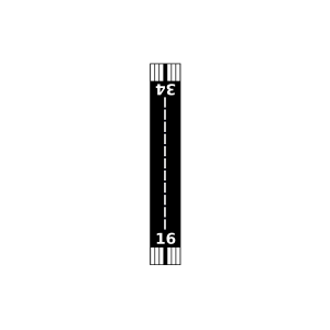
| Landebahnen | 16/34 |
| Fluginformation (FIR) | Montreal |
| Runway | RWY-Richtung | Seitenwind | Gegenwind |
|---|---|---|---|
| 16/34 | 150°/330° | - | - |
| Weller Airport | 19 km | - | - | |||
| John H Boylan State (Island Pond) Airport | 25 km | - | - | |||
| Gifford Field | 27 km | - | - | |||
| KEFK | Northeast Kingdom International Airport | 37 km | METAR | TAF | ||
| Lennoxville (Airview) Airport | 38 km | - | - | |||
| CWQH | Lennoxville | 39 km | - | - | ||
| CWTT | Lac Memphremagog | 40 km | - | - | ||
| West Burke Aerodrome Airport | 47 km | - | - | |||
| CYSC | Sherbrooke Airport | 48 km | METAR | TAF | ||
| Mansonville Airport | 48 km | - | - | |||
| CWHY | Mont-Orford | 49 km | - | - |