| Wetterinfo | - - |
| Koordinaten | 49.5516W 96.6801E |
| Typ | Small airport |
| Land | Canada (Kanada) weitere Länder... |
| Gehört zu | Steinbach |
| Orte in der Nähe | Steinbach, Ste. Anne, La Broquerie, Landmark, Grunthal, Lorette, Niverville, Ile des Chênes, St. Adolphe, Winnipeg, |
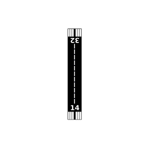
| Landebahnen | 14/32, 09/27 |
| Fluginformation (FIR) | Winnipeg |
| Runway | RWY-Richtung | Seitenwind | Gegenwind |
|---|---|---|---|
| 09/27 | 91°/271° | - | - |
| 14/32 | 151°/331° | - | - |
| Steinbach (South) Airport | 6 km | - | - | |||
| St-Pierre-Jolys (Carl's Field) | 22 km | - | - | |||
| Zhoda Airport | 33 km | - | - | |||
| Winnipeg / Lyncrest Airport | 39 km | - | - | |||
| CWVJ | Vivian Radar | 40 km | - | - | ||
| CXWI | Winnipeg | 49 km | - | - | ||
| CXWN | Winnipeg The Forks, Man. | 49 km | - | - |