| Wetterinfo | METAR TAF |
| Koordinaten | 42.5982W 95.2405E |
| Typ | Midsized airport |
| Land | United States (Vereinigte Staaten von Amerika) weitere Länder... |
| Gehört zu | Storm Lake |
| Orte in der Nähe | Storm Lake, Alta, Holstein, Sac City, Cherokee, Ida Grove, Lake View, Laurens, Pocahontas, |
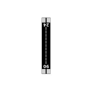
| Landebahnen | 06/24, 13/31, 17/35 |
| Fluginformation (FIR) | Minneapolis |
| Runway | RWY-Richtung | Seitenwind | Gegenwind |
|---|---|---|---|
| 06/24 | 66°/246° | - | - |
| 13/31 | 134°/314° | - | - |
| 17/35 | 175°/355° | - | - |
| Davis Airport | 18 km | - | - | |||
| KCKP | Cherokee County Regional Airport | 30 km | METAR | TAF | ||
| KSKI | Sac City Municipal Airport | 32 km | METAR | TAF | ||
| KIDG | Ida Grove Municipal Airport | 34 km | METAR | TAF | ||
| Midway View Farms Airport | 50 km | - | - |