| Wetterinfo | - - |
| Koordinaten | 3.4102S 138.8954E |
| Typ | Small airport |
| Land | Indonesia (Indonesien) weitere Länder... |
| Gehört zu | |
| Orte in der Nähe | Kobakma, Dabra, Wurigelebur, Bikondini, |
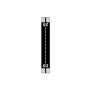
| Landebahnen | 02/20 |
| Fluginformation (FIR) | Ujung Pandang |
| Runway | RWY-Richtung | Seitenwind | Gegenwind |
|---|---|---|---|
| 02/20 | 25°/205° | - | - |
| Arsbol Airstrip | 32 km | - | - | |||
| Kobagma Airport | 34 km | - | - | |||
| Dabra Airport | 35 km | - | - | |||
| Bokondini Airport | 39 km | - | - | |||
| Eragayam Airport | 40 km | - | - | |||
| Dabra Airport | 41 km | - | - | |||
| Kelila Airport | 41 km | - | - | |||
| Foao Airstrip | 44 km | - | - | |||
| WAJB | Bokondini Airport | 45 km | - | - | ||
| Kelila Airport | 46 km | - | - | |||
| Wunin Airstrip | 46 km | - | - | |||
| Ilugwa/Antara Airport | 47 km | - | - | |||
| Wolo Airstrip | 49 km | - | - |