| Wetterinfo | - - |
| Koordinaten | 39.8317W 99.5684E |
| Typ | Small airport |
| Land | United States (Vereinigte Staaten von Amerika) weitere Länder... |
| Gehört zu | Prairie View |
| Orte in der Nähe | Phillipsburg, Norton, Alma, Beaver City, |
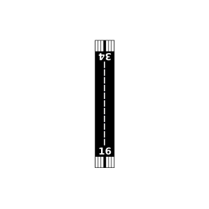
| Landebahnen | 16/34 |
| Fluginformation (FIR) | Denver |
| Runway | RWY-Richtung | Seitenwind | Gegenwind |
|---|---|---|---|
| 16/34 | 167°/347° | - | - |
| KPHG | Phillipsburg Municipal Airport | 24 km | METAR | TAF | ||
| KNRN | Norton Municipal Airport | 28 km | METAR | TAF | ||
| Harlan County Lake Seaplane Base | 35 km | - | - | |||
| Alma Municipal Airport | 37 km | - | - | |||
| Wyrill Farming Airport | 41 km | - | - | |||
| Lenora Municipal Airport | 44 km | - | - |