logo
freizeitwetter .info
Impressum Nutzungsbedingungen Attributions

© Schulkreis.de e.K.
Freizeitwetter.info Version 3.5.4

Alle Angaben ohne Gewähr. Daten nur zu Demozwecken verwenden!

SCVF

Verfrut Airport


0 km/h
Flugplatzdetails
Wetterinfo- -
Koordinaten34.0071W 71.3922E
TypSmall airport
LandChile (Chile) weitere Länder...
Gehört zuSan Pedro
Orte in der Nähe Melipilla, San Antonio,
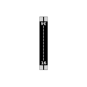
Landebahnen 16/34
Fluginformation (FIR)Santiago
Umgebungskarte Verfrut Airport

Anflug-Informationen

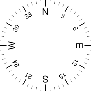
Klicke den Kompass an, um die Landebahn in Position zu drehen.
0 km/h

Landebahn-Informationen

Liste der verfügbaren Landebahnen, vermutlich aktive Piste hervorgehoben.
Runway RWY-Richtung Seitenwind Gegenwind
16/34 160°/340° - -

Wettervorhersage (DWD)

Station:
Keine Wetterdaten vorhanden.

Flugplätze in der Nähe

SCRP Rapelhuapi Airport 16 km - -
SCMZ Marina de Rapel Airport 18 km - -
SCSO Costa del Sol Airport 18 km - -
SCMR Las Aguilas Oriente Airport 20 km - -
SCGL Las Aguilas Airport 22 km - -
SCRL La Estrella Airport 23 km - -
SCDG Don Aliro Garcia Airport 26 km - -
SCTU Litueche Airport 32 km - -
SCMH La Esperanza Airport 35 km - -
SCAB El Alba Airport 40 km - -
SCMP Melipilla Airport 41 km - -
SCHG Almahue Airport 44 km - -
SCSN Santo Domingo Airport 44 km - -
SCVJ Paredes Viejas Airport 45 km - -
SCLU La Laguna Airport 46 km - -
SCAU Juan Enrique Airport 48 km - -
SCOS Entre Ríos 49 km - -
SCSV Viñasutil Airport 49 km - -
SCPW Peumo Airport 49 km - -
SCTS Santa Teresa del Almendral Airport 49 km - -
Alle Angaben ohne Gewähr. Daten nur zu Demozwecken verwenden!