| Wetterinfo | - - |
| Koordinaten | 34.3697W 109.6972E |
| Typ | Microlight airfield |
| Land | United States (Vereinigte Staaten von Amerika) weitere Länder... |
| Gehört zu | Show Low |
| Orte in der Nähe | White Mountain Lake, Show Low, Saint Johns, Pinetop-Lakeside, Lake of the Woods, Taylor, Snowflake, Linden, Springerville, Eagar, |
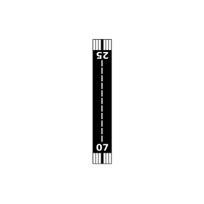
| Landebahnen | 04/22, 07/25 |
| Fluginformation (FIR) | Albuquerque |
| Runway | RWY-Richtung | Seitenwind | Gegenwind |
|---|---|---|---|
| 04/22 | 40°/220° | - | - |
| 07/25 | 70°/250° | - | - |
| White Mountain Lake Airport | 25 km | - | - | |||
| KSOW | Show Low Regional Airport | 31 km | METAR | TAF | ||
| KSJN | St. Johns Industrial Air Park Airport | 34 km | METAR | TAF | ||
| KTYL | Taylor Airport | 39 km | METAR | TAF | ||
| KJTC | Springerville Municipal Airport | 44 km | METAR | TAF |