| Wetterinfo | - - |
| Koordinaten | 39.3203W 88.4253E |
| Typ | Small airport |
| Land | United States (Vereinigte Staaten von Amerika) weitere Länder... |
| Gehört zu | Neoga |
| Orte in der Nähe | Neoga, Toledo, Mattoon, Windsor, Teutopolis, Greenup, Effingham, Charleston, Shelbyville, Sullivan, |
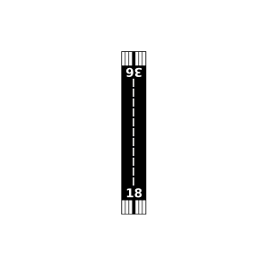
| Landebahnen | 18/36 |
| Fluginformation (FIR) | Kansas City |
| Runway | RWY-Richtung | Seitenwind | Gegenwind |
|---|---|---|---|
| 18/36 | 180°/0° | - | - |
| KMTO | Coles County Memorial Airport | 21 km | METAR | TAF | ||
| Shumway Innernational Airport | 25 km | - | - | |||
| Effingham County Regional Airport | 29 km | - | - | |||
| Alms Rla Airport | 34 km | - | - | |||
| Percival Springs Airport | 35 km | - | - | |||
| Casey Municipal Airport | 36 km | - | - | |||
| Enoch Airport | 37 km | - | - | |||
| Shelby County Airport | 37 km | - | - | |||
| Durbin Airport | 39 km | - | - | |||
| Kuebler Airport | 45 km | - | - | |||
| Kroenlein Airport | 49 km | - | - | |||
| Jasper County Flying Club Airport | 49 km | - | - |